All a distant memory; now we tap our destination into a tiny box of tricks and sit back and follow directions. Nine times out of ten, we reach our destination unscathed.
But do we really know where we are going?
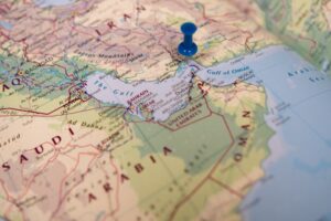
Using a paper map to guide us from London to Liverpool, St Louis to St John’s or Shanghai to Shaoxing lets us see our route in relation to the local or regional geography. We know exactly where we’ve started, where we will end up and the route we’ll take along the way.
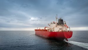
It’s the same at sea. Planning a passage on a paper chart gives us a wider awareness of our route – something we don’t get from a 16 inch ECDIS screen. On paper, we immediately see the scale of our passage and any potential issues and dangers along the way.
We recently ran a survey investigating the practice of astro-nav at sea. Unsurprisingly, the pressures of modern day watchkeeping means that few mariners have the time to take star sights, or even a sun-run-sun unless they are in training. More worryingly, some ships don’t even have the capabilities or equipment to navigate from the heavens any more. Only a luddite would hold back the tide of technology, but an over-reliance on gadgets and ignoring manual back-ups must be storing up problems.
As an ancient former submariner, I am old enough to remember ocean passages navigated exclusively by astro-nav and dead reckoning. An inbred fear of transmitting on radar forced us to analyse potential traffic issues by estimating the range of the problem ship and multiplying that by the sine of our angle on their bow to calculate the closest point of approach. It’s much easier than it sounds and it forced us to continually scan the horizons and stay on top of the visual picture.
No one would ever want to revert to those days.
Modern technology has made unprecedented inroads into making life at sea much safer and more efficient than ever before. But we can’t help thinking that we shouldn’t ignore everything that has gone before.
We’d never give up our satnav, but we still keep a book of maps in the car and we always look out of the window!
Mike Elsom
mike.elsom@navigateresonse.com